
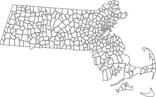
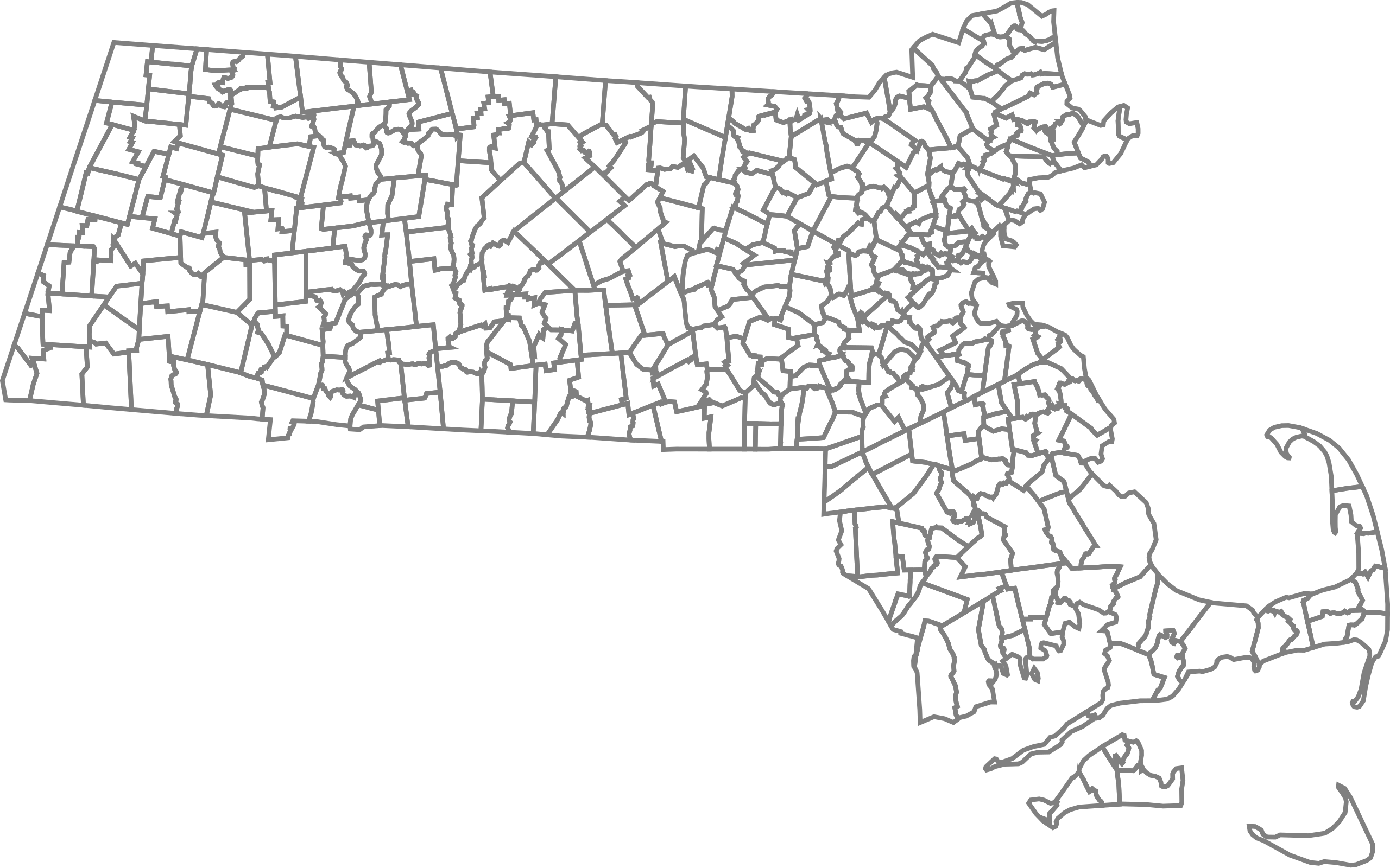
Size of this PNG preview of this SVG file: 297 × 185 pixels. Other resolutions: 320 × 199 pixels | 640 × 399 pixels | 1,024 × 638 pixels | 1,280 × 797 pixels | 2,560 × 1,595 pixels.
Original file (SVG file, nominally 297 × 185 pixels, file size: 888 KB)
![]() ✓
The source code of this SVG is valid.
✓
The source code of this SVG is valid.
Summary
| Description |
SVG map of Massachusetts with the townships |
|---|---|
| Source |
my work based on Libre map project map |
| Date |
8-December-2008 |
| Author |
Emma Pease |
| Permission (Reusing this file) |
derived from Libre Map project permissions
|
Licensing:
I, the copyright holder of this work, hereby publish it under the following licenses:
You may select the license of your choice.
File history
Click on a date/time to view the file as it appeared at that time.
| Date/Time | Thumbnail | Dimensions | User | Comment | |
|---|---|---|---|---|---|
| current | 05:05, 27 November 2023 | | 297 × 185 (888 KB) | Minorax (talk | contribs) | fix // Editing SVG source code using c:User:Rillke/SVGedit.js |
| 21:36, 8 December 2008 |  | 297 × 185 (888 KB) | Erp (talk | contribs) | {{Information |Description=SVG map of Massachusetts with the townships |Source=my work based on Libre map project map |Date=8-December-2008 |Author=Emma Pease |Permission=derived from Libre Map project permissions |other_versions= }} |
You cannot overwrite this file.
File usage
The following pages on the English Wikipedia use this file (pages on other projects are not listed):