
Size of this preview: 698 × 600 pixels. Other resolutions: 279 × 240 pixels | 559 × 480 pixels | 894 × 768 pixels | 1,192 × 1,024 pixels | 1,362 × 1,170 pixels.
Original file (1,362 × 1,170 pixels, file size: 632 KB, MIME type: image/png)
Summary
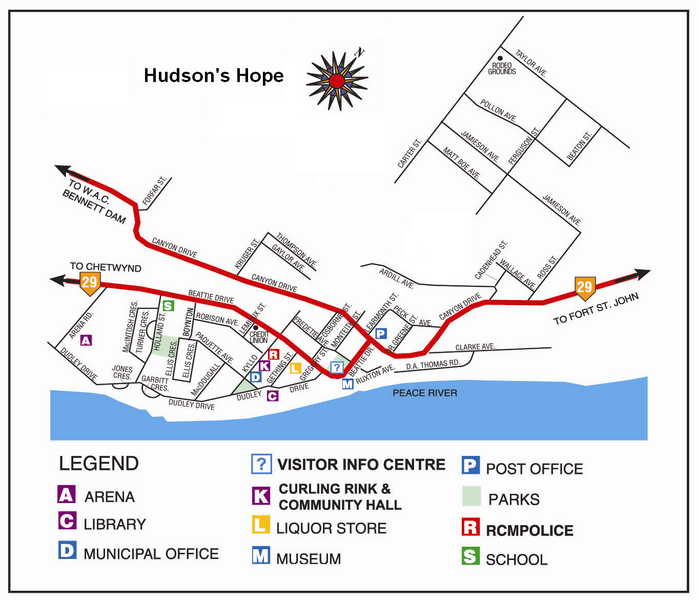
Image shows the street layout of Hudson's Hope, British Columbia, along with the Peace River flowing northeast from the WAC Bennett Dam.
Licensing
Used with permission, see Wikipedia:Successful requests for permission/Hudson's Hope, BC. Source: Hello North
File history
Click on a date/time to view the file as it appeared at that time.
| Date/Time | Thumbnail | Dimensions | User | Comment | |
|---|---|---|---|---|---|
| current | 00:48, 25 March 2006 | | 1,362 × 1,170 (632 KB) | Maclean25 (talk | contribs) | Street map of Hudson's Hope, British Columbia |
You cannot overwrite this file.
File usage
The following pages on the English Wikipedia use this file (pages on other projects are not listed):