Size of this preview: 476 × 599 pixels. Other resolutions: 191 × 240 pixels | 381 × 480 pixels | 682 × 858 pixels.
Original file (682 × 858 pixels, file size: 81 KB, MIME type: image/png)
Summary
| Description |
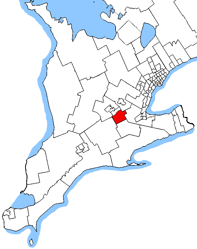
English: based on the map by User:SimonP which was based on maps by me. |
| Date | 13 June 2007 (original upload date) |
| Source | Own work |
| Author | Earl Andrew at English Wikipedia |
Licensing
| This work has been released into the public domain by its author, Earl Andrew at English Wikipedia. This applies worldwide. In some countries this may not be legally possible; if so: Earl Andrew grants anyone the right to use this work for any purpose, without any conditions, unless such conditions are required by law. |
Original upload log
The original description page was here. All following user names refer to en.wikipedia.
- 2007-06-13 07:48 Earl Andrew 1046×1215 (61744 bytes) {{PD-self}} based on the map by [[User:SimonP]] which was based on maps by me.
File history
Click on a date/time to view the file as it appeared at that time.
| Date/Time | Thumbnail | Dimensions | User | Comment | |
|---|---|---|---|---|---|
| current | 04:10, 24 October 2015 | | 682 × 858 (81 KB) | Djvarley | New map to reflect new boundaries of Cambridge electoral district after the 42nd Canadian general election on October 19, 2015. |
| 13:15, 25 December 2011 |  | 1,046 × 1,215 (60 KB) | MGA73bot2 | {{BotMoveToCommons|en.wikipedia|year={{subst:CURRENTYEAR}}|month={{subst:CURRENTMONTHNAME}}|day={{subst:CURRENTDAY}}}} == {{int:filedesc}} == {{Information |description={{en|1=based on the map by User:SimonP which was based on maps by |
File usage
The following pages on the English Wikipedia use this file (pages on other projects are not listed):
Global file usage
The following other wikis use this file:
- Usage on ar.wikipedia.org
- Usage on fr.wikipedia.org
- Usage on www.wikidata.org