Content deleted Content added
Pantherskin (talk | contribs) No edit summary |
m tidy Infobox mountain using AWB |
||
| Line 3: | Line 3: | ||
| photo = MtYosifun.jpg |
| photo = MtYosifun.jpg |
||
| photo_caption = <small>Mount Yosifon, seen from north in the [[Ein Zivan]] area</small> |
| photo_caption = <small>Mount Yosifon, seen from north in the [[Ein Zivan]] area</small> |
||
| |
| elevation_m = 981 |
||
| |
| elevation_ref = |
||
| ⚫ | |||
| prominence = |
| prominence = |
||
| ⚫ | |||
| range = |
|||
| coordinates = {{coord|33|03|24|N|35|47|49|E|type:mountain|display=inline,title}} |
| coordinates = {{coord|33|03|24|N|35|47|49|E|type:mountain|display=inline,title}} |
||
| topo = |
| topo = |
||
Revision as of 22:19, 14 April 2010
| Mount Yusuf | |
|---|---|
 Mount Yosifon, seen from north in the Ein Zivan area | |
| Highest point | |
| Elevation | 981 m (3,219 ft) |
| Coordinates | 33°03′24″N 35°47′49″E / 33.05667°N 35.79694°E |
| Geography | |
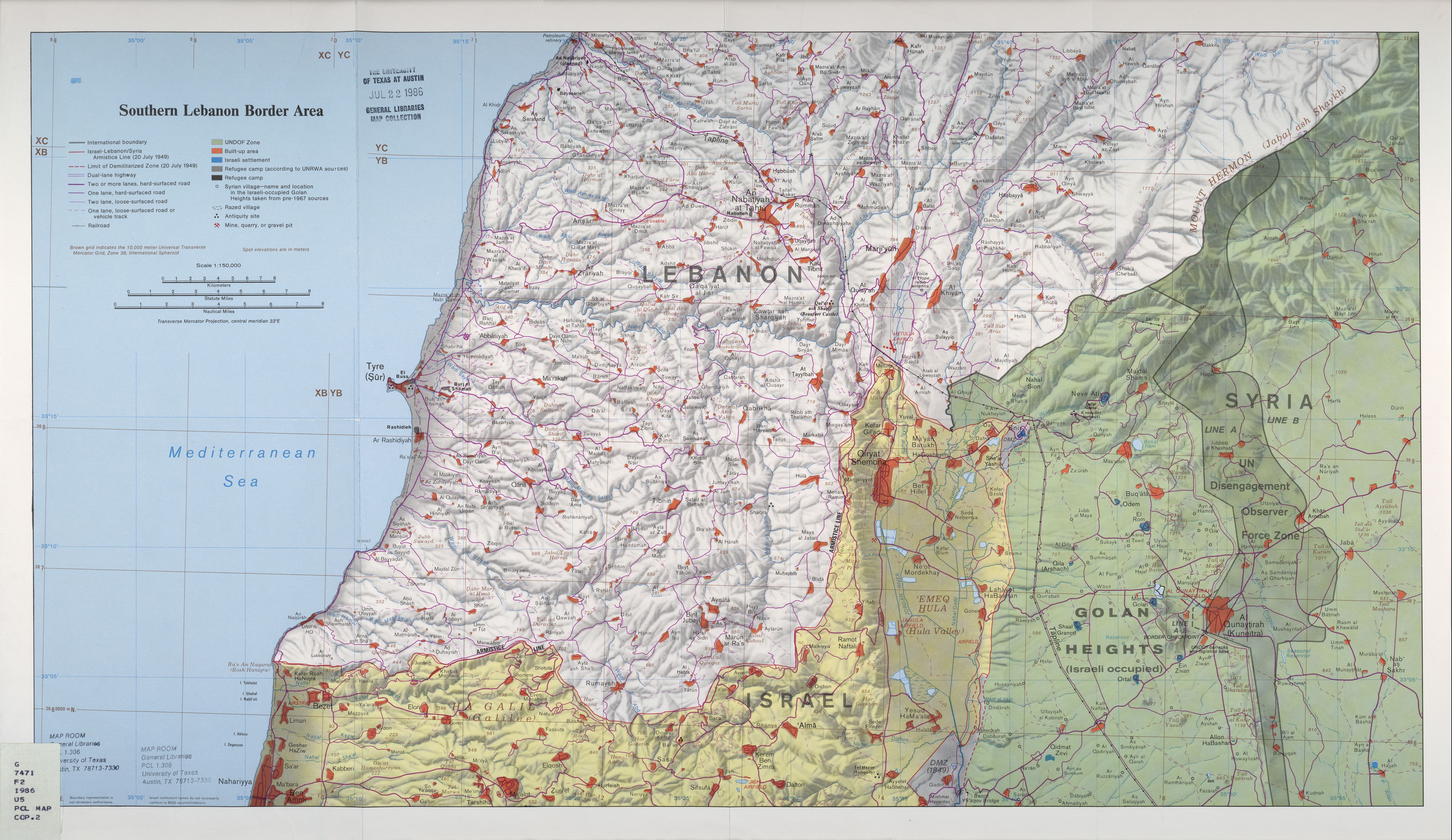
| Location | Golan Heights |
Mount Yosifon (Arabic: تل يوسف, Tall Yusuf, Hebrew: הר יוסיפון, Har Yosifon) is a part of an extinct volcano in the central Golan Heights. The top of the mountain is 981 meters above sea level.[1]
During the Yom Kippur War, the Israel Defense Forces set up a line of defense that went through Mount Yosifon in the battle for the Golan Heights.[2]