Size of this preview: 800 × 564 pixels. Other resolutions: 320 × 225 pixels | 640 × 451 pixels | 856 × 603 pixels.
Original file (856 × 603 pixels, file size: 340 KB, MIME type: image/jpeg)
Summary
| Description |
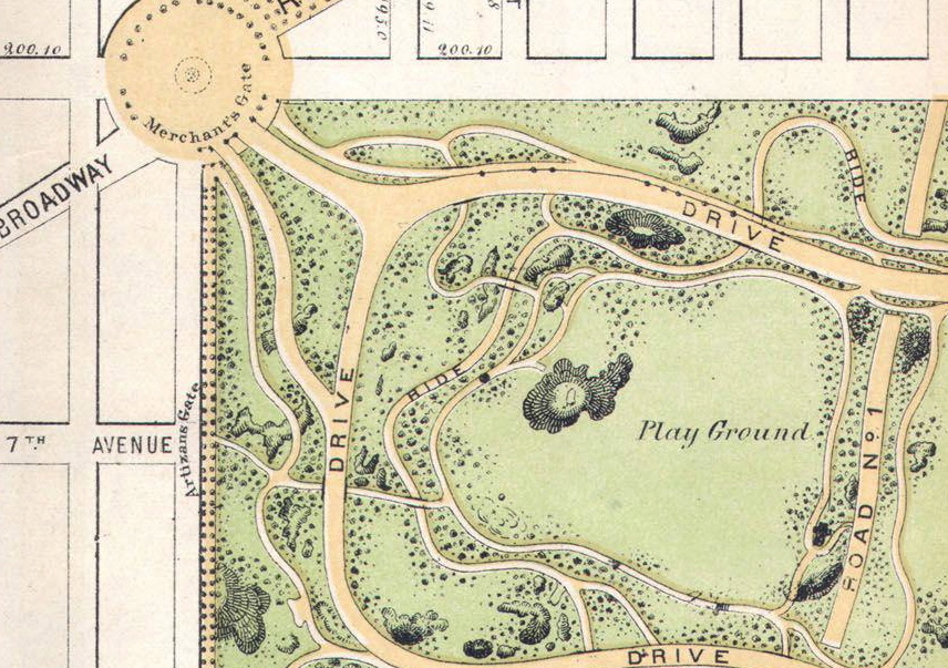
An 1868 Map of Central Park taken from Wikipedia Commons, cropped and rotated to illustrate the Boys Playground. |
|---|---|
| Source |
Wikipedia Commons. |
| Date |
1868 |
| Author |
Calvert Vaux and Frederick Law Olmsted |
| Permission (Reusing this file) |
See below.
|
Licensing
File history
Click on a date/time to view the file as it appeared at that time.
| Date/Time | Thumbnail | Dimensions | User | Comment | |
|---|---|---|---|---|---|
| current | 15:21, 20 March 2017 | | 856 × 603 (340 KB) | Buckyboot (talk | contribs) | An 1868 Map of Central Park taken from Wikipedia Commons, cropped and rotated to illustrate the Boys Playground. |
You cannot overwrite this file.
File usage
The following pages on the English Wikipedia use this file (pages on other projects are not listed):
.jpg)