| Category 1 hurricane (SSHWS/NWS) | |
 Large extratropical storm southeast of Nova Scotia | |
| Formed | October 28, 1991 |
|---|---|
| Dissipated | November 4, 1991 |
| Highest winds | 1-minute sustained: 75 mph (120 km/h) |
| Lowest pressure | 972 mbar (hPa); 28.7 inHg |
| Fatalities | 12 direct |
| Damage | > $200 million (1991 USD) |
| Areas affected | East Coast of the United States, Atlantic Canada |
| Part of the 1991 Atlantic hurricane season | |
The 1991 Perfect Storm, also known as the No-Name Storm or the Halloween Nor'easter, was an unusual nor'easter which was extratropical, absorbed one hurricane, and ultimately evolved into a small hurricane within an extratropical system late in its life cycle. The initial area of low pressure developed off Atlantic Canada on October 28. It moved southwestward due to a ridge to its north, and reached its peak intensity. The storm lashed the East Coast of the United States with high waves and coastal flooding, before turning to the southwest and weakening. Moving over warmer waters, the system transitioned into a subtropical cyclone before becoming a tropical storm. It executed a loop off the Mid-Atlantic states and turned toward the northeast. On November 1 the system evolved into a full-fledged hurricane with peak winds of 75 mph (121 km/h), although the National Hurricane Center left it unnamed due to the heavy damage and media interest in the predecessor extratropical storm. It was fourth hurricane and final tropical cyclone in the 1991 Atlantic hurricane season. The tropical system weakened, striking Nova Scotia as a tropical storm before dissipating.
Damage totaled over $200 million (1991 USD)[1] and the death toll was twelve. Most of the damage occurred while the storm was extratropical.
Meteorological history

Tropical storm (39–73 mph, 63–118 km/h)
Category 1 (74–95 mph, 119–153 km/h)
Category 2 (96–110 mph, 154–177 km/h)
Category 3 (111–129 mph, 178–208 km/h)
Category 4 (130–156 mph, 209–251 km/h)
Category 5 (≥157 mph, ≥252 km/h)
Unknown
The origins of the Perfect Storm were from a cold front that exited the east coast of the United States. On October 28, the front spawned an extratropical low to the east of Nova Scotia. Around that time, a ridge extended from the Appalachian Mountains northeastward to Greenland, with a strong high pressure center over eastern Canada. The blocking ridge forced the extratropical low to track toward the southeast and later to the west. Hurricane Grace was swept aloft by its cold front into the warm conveyor belt circulation of the deep cyclone on October 29. The cyclone significantly strengthened as a result of the temperature contrast between the cold air to the northwest and the warmth and humidity from the remnants of Hurricane Grace. The low pressure system continued deepening as it drifted towards the United States. While situated about 390 mi (630 km) south of Halifax, Nova Scotia, the nor'easter attained its peak intensity with winds of up to 70 mph (110 km/h).[2]
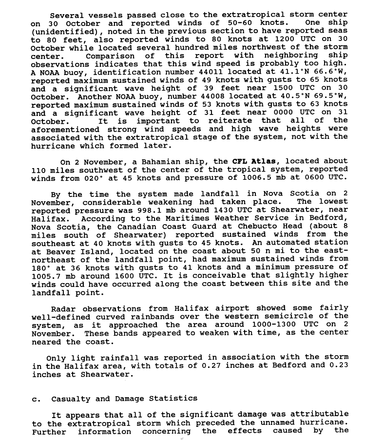
The Halloween Nor'easter reached peak intensity at approximately 1200 UTC on October 30 with the lowest pressure being 972 millibars. The interaction between the extratropical storm and the high pressure system to its north created a significant gradient, which created large waves and strong winds.[2] A buoy located 264 mi (425 km) reported a wave height of 100.7 ft (30.7 m) on October 30. This became the highest recorded wave height on the Scotian Shelf, which is the oceanic shelf offshore Nova Scotia.[3] Offshore the United States, a NOAA located at 41°06′N 66°36′W / 41.1°N 66.6°W reported maximum sustained winds of 56 mph (91 km/h) with gusts to 75 mph (120 km/h), and a significant wave height (average height of the highest waves) of 39 feet (12 m) near 1500 UTC on October 30. Another buoy, located at 40°30′N 69°30′W / 40.5°N 69.5°W, reported maximum sustained winds of 61 mph with gusts to 72 mph (117 km/h) and a significant wave height of 31 ft (9 m) near 0000 UTC on October 31.[2]

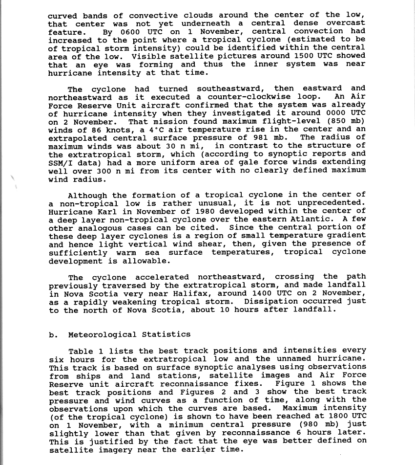
Upon peaking in intensity, the nor'easter turned southward and gradually weakened; by November 1, its pressure had risen to 998 mb. The low moved over warm waters of the Gulf Stream, where bands of convection around the center began to organize.[4] At around this time, the system attained subtropical characteristics. On November 1, while the storm was executing a counter-clockwise loop, a tropical cyclone had been identified at the center of the larger low.[5] Although these conditions are rare, Hurricane Karl during 1980 also formed within a larger non-tropical weather system.[6]
By around 1400 UTC on November 1, an eye feature was forming, and the tropical cyclone reached its peak intensity with maximum sustained winds of 75 mph (120 km/h);[7] these estimates, combined with reports from an Air Force Reserve Unit flight into the storm and confirmation that a warm-core center was present, indicated that the system had become a Category 1 hurricane on the Saffir-Simpson Hurricane Scale. The hurricane accelerated towards the northeast and quickly weakened back into a tropical storm. It made landfall near Halifax, Nova Scotia, at 1400 UTC on November 2 with sustained winds of 45 mph (72 km/h). While the storm was approaching the coast, weather radars depicted curved rainbands on the western side of the system.[5] After crossing over Prince Edward Island,[3] it fully dissipated late on November 4.[5]
Warnings and preparations
To reduce confusion among the media, the National Hurricane Center handled warnings for the unnamed hurricane in the High Seas and Offshore and Coastal Weather Forecasts.[8]
In North Carolina, the National Weather Service offices in Hatteras and Raleigh first issued a heavy surf advisory on October 27, more than eight hours before the first reports of high waves. That same day, a coastal flood watch and later a warning was issued, along with a gale warning. The Hatteras NWS office ultimately released 19 coastal flood statements, as well as media reports explaining the threat from the wind and waves. The warnings and lead times in the region were described as "very good".[9]
In Canada, the threat from the storm prompted the cancellation of ferry passage from Bar Harbor, Maine to Yarmouth, Nova Scotia, as well as from Nova Scotia to Prince Edward Island. Later, ferry service between Nova Scotia and Newfoundland was halted.[3]
Naming

The U.S. Department of Commerce, National Oceanic and Atmospheric Administration NWS Natural Disaster Survey Report called the storm "The Halloween Nor’easter of 1991". The "perfect storm" moniker was coined by author and journalist Sebastian Junger after a conversation with NWS Boston Deputy Meteorologist Robert Case in which Case described the convergence of weather conditions as being "perfect" for the formation of such a storm.[10][11] In New England it is still colloquially referred to as simply "the Halloween Storm" or "the No Name Storm", no name because it was never given a hurricane name.
Beginning in 1950, the National Hurricane Center named officially recognized tropical storms and hurricanes. The 1991 unnamed hurricane was reported to have met all the criteria for a tropical cyclone; however, it was purposefully left unnamed to avoid confusion amongst the media and the public, who were focusing on the damage from the initial nor'easter, as the hurricane itself was not expected to pose a major threat to land. It was the eighth nameable storm of the 1991 Atlantic hurricane season.[5][12]
Quotations
[a] strong disturbance associated with a cold front moved along the U.S.-Canadian border on October 27 and passed through New England pretty much without incident. At the same time, a large high-pressure system was forecast to build over southeast Canada. When a low pressure system along the front moved into the Maritimes southeast of Nova Scotia, it began to intensify due to the cold dry air introduced from the north. [...] These circumstances alone, could have created a strong storm, but then, like throwing gasoline on a fire, a dying Hurricane Grace delivered immeasurable tropical energy to create the perfect storm.
— Robert Case, NWS Boston[13]
Impact

The Halloween Storm of 1991 left significant damage along the east coast of the United States, primarily in Massachusetts and southern New Jersey. Across seven states, damage totaled over $200 million (1991 USD).[1] It caused 12 confirmed deaths; including 6 on board the Andrea Gail (later recounted in the book and film The Perfect Storm) and one Air National Guard pararescue jumper, Sgt. Millard Jones. It lashed northeastern U.S. with a storm tide of more than 13 ft (4 m) above a storm surge of approximately 5 ft (1.5 m), and piled on top of that 30 ft (10 m) waves. The worst of the storm stayed offshore. Duxbury Beach, Massachusetts, had gusts up to 85 mph.
Along the Massachusetts coastline, the storm produced 25 ft (7.6 m) wave heights on top of a 4 ft (1.2 m) high tide. In Boston, tides were only 1 ft (30 cm) lower than the total set in the blizzard of 1978. Coastal floods closed several roads, forcing hundreds of people to evacuate. In addition to the high tides, the storm produced strong winds; Chatham recorded a gust of 78 mph (126 km/h). Damage was worst from Cape Ann in northeastern Massachusetts to Nantucket, with over 100 homes destroyed or severly damaged at Marshfield, North Beach, and Brant Point. There were two injuries in the state, although there were no fatalities. Across Massachusetts, damage totaled in the hundreds of millions of dollars, prompting a federal disaster declaration in seven counties.[1]
Elsewhere in New England, waves up to 30 ft (9.1 m) reached as far north as Maine. Significant flooding was reported in that state, along with high winds that left areas without power. A total of 49 houses were severely damaged, and two were destroyed. The storm left $7.9 million (1991 USD) in damage in Maine, prompting a disaster declaration in five counties. Although there were no deaths, there were two injuries. In neighboring New Hampshire, coastal flooding affected several towns, destroying two homes. The storm destroyed three boats and damaged a lighthouse. Damage was estimated at $5.6 million (1991 USD). Further west, high winds and coastal flooding lashed the Rhode Island and Connecticut coasts, killing a man in Narragansett, Rhode Island. Winds reached 63 miles per hour (101 km/h) in Newport, Rhode Island, causing power outages.[1]
In New York and northern New Jersey, the storm system left the most coastal damage since the 1944 Great Atlantic hurricane. Numerous boats were damaged or destroyed, killing two people off Staten Island. High winds swept a man off a bridge, killing him. Outside of Massachusetts, damage was heaviest in southern New Jersey, where the cost was estimated at $75 million (1991 USD). Across the area, tide heights reached their highest since the 1944 hurricane, leaving severe coastal and back bay flooding and closing many roads. The storm also caused significant beach erosion.[1]
Along the Delmarva Peninsula, there was widespread water damage to homes, including ten affected houses in Sandbridge Beach, Virginia. Tides in Ocean City, Maryland reached a record height of 7.8 ft (2.4 m), while elsewhere the tides were similar to the Ash Wednesday Storm of 1962.[1]
In North Carolina along the Outer Banks, high waves were initially caused by Hurricane Grace and later its interaction with a high pressure system. This produced gale-force winds and 12 ft (3.7 m) in the town of Duck. Later, the extratropical predessor to the unnamed hurricane produced additional high waves, causing oceanfront flooding from Cape Hatteras through the northern portions of Currituck County. Flooding was first reported on October 28, when the ocean covered a portion of North Carolina Highway 12 north of Rodanthe. Nags Head, Kitty Hawk, and Kill Devil Hills had large portions covered with water for several blocks away from the beach. The resultant flooding damaged 525 houses and 28 businesses, along with destroying two motels and a few homes.[9] Damage was estimated at $6.9 million (1991 USD).[1]
Further south, the storm left 14 people injured in Florida. There was minor beach erosion and flooding, which damaged two houses and destroyed the pier at Lake Worth. Damage in the state was estimated at $3 million (1991 USD). In Puerto Rico, waves of 15 ft (4.6 m) affected the island's north coast, killing one person who was swept off a rock.[1]
Offshore Atlantic Canada, the storm produced very high waves, flooding a ship near Sable Island and stranding another ship. Along the coast, the waves wrecked three small boats near Tiverton, Nova Scotia, as well as nine boats in Torbay, Newfoundland and Labrador. In Nova Scotia, where the storm made landfall, precipitation reached 1.18 in (30 mm), and 20,000 people in Pictou County were left without power. The storm also caused widespread power outages in Newfoundland from its high winds, which reached 68 mph (110 km/h) near St. Lawrence. There were at least 35 traffic accidents, one of which fatal in Grand Falls-Windsor due to slick roads. Prior to the storm's formation, there was a record 4.4 in (116 mm) of snowfall across Newfoundland.[3] The storm caused no significant damage in Canada.[14]
See also
- The Perfect Storm (book)
- The Perfect Storm (film)
- Halloween Blizzard
- List of Atlantic hurricanes
- List of New England hurricanes
Notes and references
- ^ a b c d e f g h Sam McCown, National Climatic Data Center (2008-08-20). ""Perfect Storm" Damage Summary". National Oceanic and Atmospheric Administration. Retrieved 2011-06-20.
- ^ a b c National Climatic Data Center (2008-08-20). "The Perfect Storm". National Oceanic and Atmospheric Administration. Retrieved 2009-09-14.
- ^ a b c d Canadian Hurricane Centre (2010-09-14). "1991-Unnamed "Perfect Storm"". Retrieved 2011-06-17. Cite error: The named reference "Canada" was defined multiple times with different content (see the help page).
- ^ Richard Pasch. "Unnamed Hurricane Preliminary Report Page 1". National Hurricane Center. Retrieved 2009-09-14.
- ^ a b c d National Climatic Data Center. "Unnamed Hurricane". National Oceanic and Atmospheric Administration. Retrieved 2009-09-14.
- ^ Richard Pasch and Lixion Avila (March 26, 1992). "Atlantic Hurricane Season of 1980" (PDF). National Oceanic and Atmospheric Administration. Retrieved 2009-09-13.
- ^ Richard Pasch. "Unnamed Hurricane Preliminary Report Page 2". National Hurricane Center. Retrieved 2009-09-14.
- ^ Richard Pasch (1991). "Unnamed Hurricane Preliminary Report Page 4". National Hurricane Center. Retrieved 2011-06-16.
- ^ a b Joseph Pelissier (1991). "North Carolina Coastal Flood". National Hurricane Center. Retrieved 2011-06-16.
- ^ (2000, June 29). "Meteorologists Say 'Perfect Storm' Not So Perfect", Science Daily
- ^ West, James. (2000, July 6). "The naming of 'The Perfect Storm'", USA Today
- ^ "Canadian Tropical Cyclone Season Summary for 1991". Canadian Hurricane Centre. Retrieved 2009-09-14.
- ^ (2000, June 16). "NOAA METEOROLOGIST BOB CASE, THE MAN WHO NAMED THE PERFECT STORM", National Oceanographic & Atmospheric Administration News
- ^ Richard Pasch. "Unnamed Hurricane Preliminary Report Page 3". National Hurricane Center. Retrieved 2009-09-14.
External links
- Summary of the storm and its formation, with satellite imagery
- News article covering the storm
- NWS Service Assessment
- Semi-official report
- The unnamed hurricane spawned by the storm
Tropical cyclones of the 1991 Atlantic hurricane season | ||
|---|---|---|
 | ||