
Size of this preview: 800 × 533 pixels. Other resolutions: 320 × 213 pixels | 640 × 426 pixels | 1,024 × 682 pixels | 1,280 × 852 pixels | 2,635 × 1,754 pixels.
Original file (2,635 × 1,754 pixels, file size: 803 KB, MIME type: image/png)
| Description |
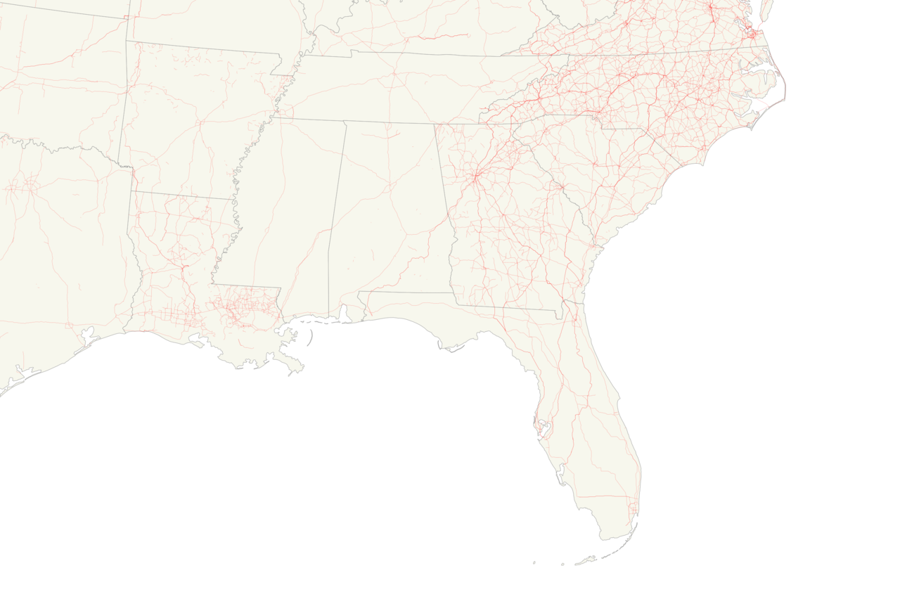
A map showing all of the KML files in the Mid Atlantic of the United States I've either created or have had a major involvement in making as of June 29, 2016 |
|---|---|
| Source | Own work |
| Date |
2016-06-29 |
| Author | |
| Permission (Reusing this file) |
You really have no need to use this anywhere else but see below anyway
|
Licensing:
I, the copyright holder of this work, hereby publish it under the following licenses:
You may select the license of your choice.
File history
Click on a date/time to view the file as it appeared at that time.
| Date/Time | Thumbnail | Dimensions | User | Comment | |
|---|---|---|---|---|---|
| current | 18:13, 2 January 2018 | | 2,635 × 1,754 (803 KB) | Mr. Matté (talk | contribs) | As of Jan 1, 2018 |
| 02:27, 30 June 2016 |  | 2,635 × 1,754 (823 KB) | Mr. Matté (talk | contribs) | {{esoteric file}} {{Information |Description=A map showing all of the KML files in the Mid Atlantic of the United States I've either created or have had a major involvement in making as of June 29, 2016 |Source={{own}}{{inkscape}} |Date=2016-06-29 |Aut... |
You cannot overwrite this file.
File usage
The following pages on the English Wikipedia use this file (pages on other projects are not listed):